 |
| Graham Peak towering over the City of Rocks |
 |
| Bally Mtns in the foreground, then Cache Peak then Mt Harrison |
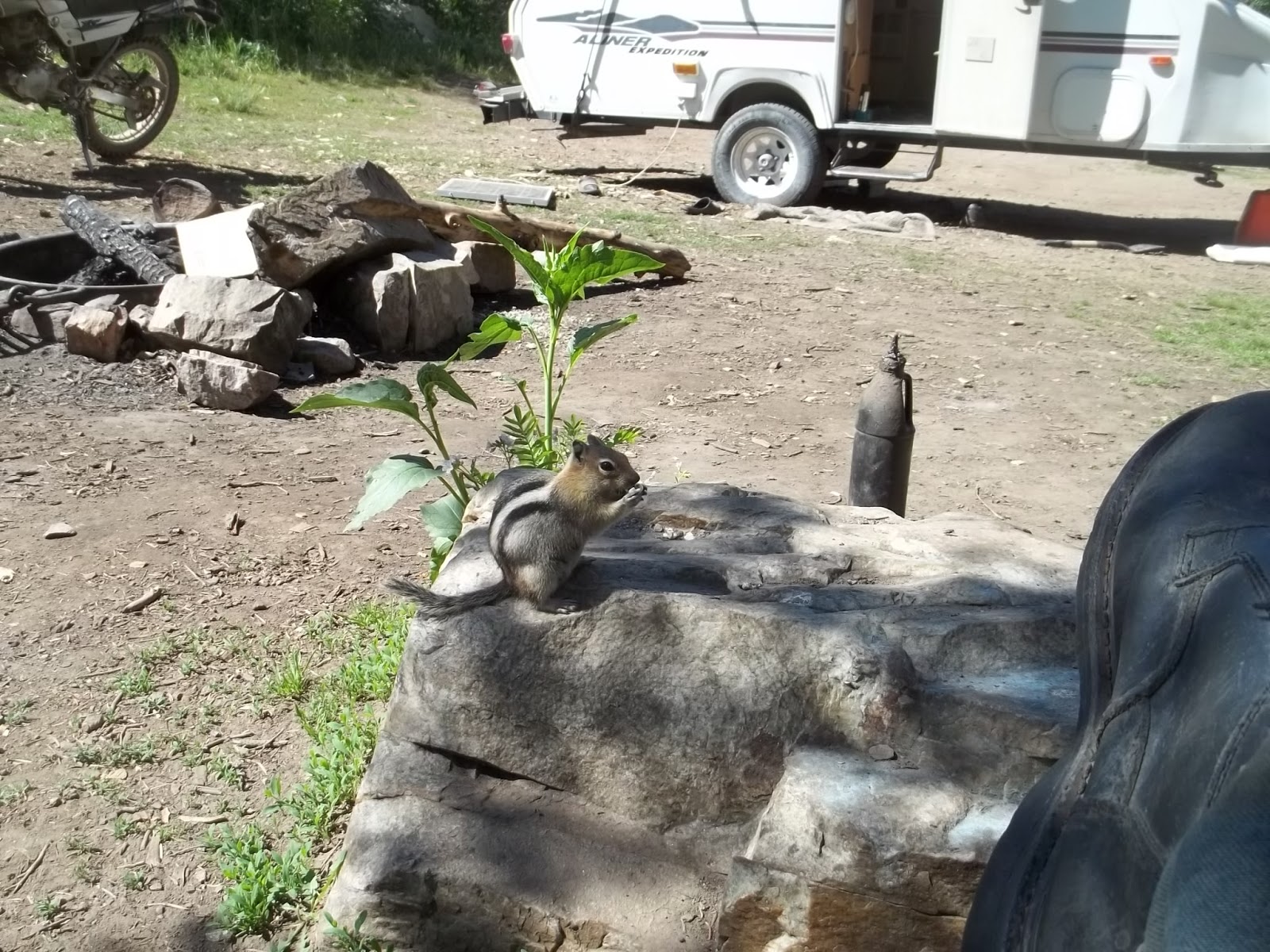 |
| One of the locals looking for handouts |
 |
| I told him to get a job |
- CACHE PEAK el 10339 is by far the highest in the state south of I-84. The decent Logger Springs 4wd road goes up the SW ridge to el 8500. That may be the only snow free route before August. It starts at the west entrance to City of Rocks Reserve. It goes up just inside the Reserve boundary into the national forest, signed as #562. Follow it to the end then hike the trail behind the barricade signed for Independence Lakes. At el 9400 the trail veers left and into snow on that late June day. I left the trail there and went straight up the ridge. Light brush sets in at the 9500 level, but there's a game trail thru it at N42 11177, W113 40373. I drifted to the right side of the ridge on game trails to avoid rocks then went left up a trail at 11199, 40101 el 9900. Some boulders had to be negotiated but that was easy then on to the reg at 11134, 39665. 3 and a half hours, 1800 gain. Later in summer when snow is gone, it would make sense to stay on the trail until it tops out. GRAHAM PEAK el 8857 has a road to the top, FR 707, branching off FR 562 at 08262, 43789 el 8400. It goes a mile and a half to the summit, which is the highest in City of Rocks. The first third mile was rutted. A million shady camps are along FR 562. Snow was still blocking 4wds in late June. The Independence Lakes TH has a better road. I saw cars there. I was blocked by snow at the second lake in late June. The Ranger Trail forks off to the left before the lakes. I didn't walk it, but one map shows it goes thru the saddle el 8600 on the NE ridge of the peak. Posted 2016.
- COTTEREL MOUNTAINS HIGH POINT el 7100+ has a decent road to the top. It leaves SR 77 at mp 11. 2wds might slip on steep spots. The Coe Creek recreation site is down at the west side of the peak. It has a fenced camp area, very grassy. The crest road is the main attraction here. Cycles and mtn bikes can go north 3 or 4 miles to a cattleguard then come back. No cattle were along that stretch and flowers were nice. Private land blocks exit routes to the north. Going south on the crest road is mostly coasting. The main road goes down Nibbs Creek. At el 5250 a road branches right. You can stay straight on the main road to a 4-way at a cattleguard then go right to SR 77, or take the road branching right for an air mile to a fork. Both go, but I like the right fork better. Either way, you hit SR 77 at a sandpit at mp 3.8 el 4750. This is all on the topo map. Jeeps can do these roads but there are a few tricky spots. Posted 2016.
- ELBA BENCHMARK el 8046 is the high point of the Jim Sage Mountains. The shortest way up is Kane Canyon from the east. Take highway 81 to a graded road at N42 13221, W113 21525. Follow that for 4 miles to where it veers right into a ranch. Go left there at a fork then soon there is another fork. Go right for 2 miles on easy 4wd to the last turnaround at 11397, 27849 el 6000. I went a mile more on a cycle but had to drag it to turn it around. I walked the road to the 6800 level and stopped there, but could see it would be easy to climb the south rim and go on up. I hiked a west side route that is a crest run from Keg Hollow Spring. Turn off the west side highway at mp 6.2 onto an easy 4wd road. Follow that road and stay right at a fork then the road forks 3 ways about a mile in from the highway. Take the middle fork, reading N42 08824, W113 34108. The road circles up into the canyon then gets narrow at the 6100 level. Turnarounds get scarce. I wouldn't take a 4wd beyond a turnaround at 08559, 31375 el 6500. OHVs can get to the end at the spring el 6600. The road bed was good but small rocks needed to be kicked off for the last mile. Let your girlfriend walk ahead to tend to that. Mtn bikes would work here. Hike from the spring on cow trails into a saddle at 08385, 31019 el 7050 which puts you above brushline. Go up the ridge to a man made trail at el 7400 then walk that a short way. It will start down and fade so get off it and walk the bald crest. It's obvious how to walk left of minor bumps. Game trails make it easier. The game trails fizzle out where the crest drops to a major saddle el 7800, about 200 feet deep. A useful trail is down at 10255, 30254 and it goes into the saddle. Stay left around a rocky hill in the saddle then keep going to the BM and reg at 11056, 29676. The hike took me 5 hours with about 1700 gain on the ascent, not steep. The only noticeable gain on the return was the 200 feet out of the major saddle. I took a shortcut back down the head of Keg Hollow at 08668, 30504, but that takes long pants. If you want to get a good look at this range, this is one way to do it. The crest is nearly pristine with minimal cattle impact and no fences. The best hike would be to run the whole thing one way. BLACK SAND HOLLOW ROUTE - some hikers went that route. The only thing I could find is a bad road at mp 8.2 on the west side highway. It goes along the edge of private land, but hikers with cars could just walk in from the highway. I didn't scout very far in that way, but I could see an ATV track coming up that canyon into the major saddle el 7800 on the crest. SOUTH ACCESS - the graded Narrows Rd goes along the southern tip of the range. A good road leaves it at 04586, 32475. Stay on the main road going north for 4 miles to Jim Sage Spring el 6300. The last half mile might need 4wd. Mtn bikes would be feasible to get in here. A wooden fence surrounds the spring. A rubbly ATV track starts along the right side of the fence and goes up to a fence at a saddle el 6850. A rocky trail goes up the bald ridge along the fence for a mile to peak 7282. That's a 2 hour hike with 1000 gain. The main crest could be accessed here. Posted 2016.
- MIDDLE MOUNTAIN el 8400+ was on my agenda but I could find no public access on the east side. The SW side is the only hope for that one. Posted 2016.
- MONUMENT PEAK BENCHMARK el 8060, south of Twin Falls, is the high point of the Goose Creek Mountains that seem to be nameless on maps. It has a road up it. From Hansen, go south on Rock Creek Rd, aka 3800E. It goes along the creek then turns to dirt at the 7000 level. The first thing to do is stop at the sign for ROSS FALLS. A trail goes for 5 minutes to a 20 foot fall. The next thing is PIKE MOUNTAIN el 7710. Just before the end of pavement is a huge parking area on the left. At the north end is FR 507. It's a decent road to the summit where there are observation decks and a map of the area. For MONUMENT PEAK BM, go another 5 miles after pavement ends then turn right on FR 671. Go about 1.1 miles then the BM is up on the left at N42 07190, W114 13078. Some 2wds can make it. One interesting mtn bike ride could be done coming back on dirt roads then down the cycle trail in the Third Fork. A much longer ride could be done by riding north from the peak on main dirt roads to get to FR 531. Along that road is the Harrington Fork cycle trail #006 at N42 13767, W114 11901 el 7700. That goes downhill all the way to the picnic area on Rock Creek Rd where you spotted a second car, of course. There is also a trail that starts on the west rim of Rock Creek, called the Rim View Trail. I saw some bikes coasting nearly 10 miles down that to Third Fork, but as of 2018 that trail was closed to bikes. What else is it good for? Several campgrounds and some freebie spots are along the Rock Creek Rd. The campground at Third Fork was free in 2016. This whole area is useless for hiking but aside from mtn bike rides, there are dirt bike and dual sport cycle rides. I rode both rims of Rock Creek on a heavy cycle using the Cherry Springs Rd and the Dry Creek Rd. Those are easy but the North Cottonwood Rd has too much bedrock jutting up. Trapper Creek is another pleasant ride. It has a big cliff at the 5200 level with petroglyphs and pioneer inscriptions from 1875. The Harrington Fork and the main trail up Third Fork are easy dirt bike rides. A store at Rock Creek has gas and free maps of the forest roads and trails. Posted 2016, 2018.
- MOUNT HARRISON el 9265 has a paved road to the top. It leaves SR 77 at mp 12.8 and goes about a dozen miles. Bennett Springs campground is about half way along and had no fee. Right after that the road makes a hairpin turn. Inside that turn is the spring where the creek arises. I filled every jug I had there. CONNER BENCHMARK is a worthwhile side trip. Take the 4wd Connor Ridge road that departs from the ski lodge. It goes up on top of the ridge then smooths out and levels off for 2 miles to the BM at N42 18887, W113 33518. Mtn bikes would work. The SKYLINE TRAIL is a cycle trail starting at Twin Lakes campground. It's easy for the first mile and a half then turns rocky and brushy and useless for anything. Posted 2016.
- RAFT RIVER MOUNTAINS are in Utah but accessed from Idaho. Clear Creek has a free campground and Onemile Creek has plenty of dispersed camps, but grassy so take a lawn mower. The high crest has a 4wd road the whole length. Sawtooth National Forest has their maps online. I followed signs from Almo (which has a store with gas) on graded roads to Yost. Then stayed on the main road to a T. I went left then stayed right at the next two Ts to the end of graded road. There is a pullout there where small RVs could park and take a jeep on up. I was able to haul a camp trailer up another mile to where FR 011 forks right and FR 005 drops down Onemile Creek. The best camp is a shady one about a tenth mile down where I set up basecamp el 7300. FR 005 had been bladed recently. For the high point el 9930, use 4wd to go up FR 011 to FR 009 at a T on the crest el 9600. The road crosses George Creek along the way where there are a million shady camps. From the T, go east about 2 and a half miles to the high point reading N41 54680, W113 21960. Shortly beyond that the road goes along the rim with a good view of Bull Lake. Right after that is a good log cabin that was open to the public. I went on east on FR 009 then took a 5 minute walk up to INDIAN BM at 54684, 18434 el 9493. The crest drops off there and the view is good. GEORGE PEAK BM reading 53362, 28990 el 9601 is at the west end of the crest. It's a decent road that far then it shrinks to an OHV trail and drops down Johnson Canyon to Yost. Jeeps can come up Johnson Canyon and turn right on FR 002A. That road tops out at el 8000 then it's a short walk to the Mahogany Peaks at 52748, 35355 el 8300+. The BALLY MOUNTAINS HIGH POINT el 8040+, is in view from the basecamp on Onemile Creek and makes for a good hike. Walk a tenth mile up the road from camp and get on the closed road that goes up the crest. The reading there is N41 56171, W113 28679 el 7400. The road goes thru a couple of gates then fizzles when a fence blocks it. It's easy to walk on up to the summit at 57842, 28415. I could see FR 005E down below so I walked back a tenth mile then went down the ridge to the road. There was a mile and a half of road walking back to camp. That took 2 and a half hours, easy. GEORGE CREEK is another easy hike I did near the Onemile Creek basecamp. Drive about a mile up FR 011 to a closed road at el 7600. Hike down that a third mile then get on a trail forking left at N41 55609, W113 28616 el 7250. Follow that around to the mouth of the creek where a road comes in from private land. That road soon fizzles then keep going up the creek on a trail for a short way to the main fork. The trail goes up the south fork. I had to wade across, then turned around at the 7300 level, but I wish I had gone a little more to find the springs where the creek starts. Nice hike, no cattle in there for years. CHARLESTON CREEK has a smooth ATV track. The road in leaves Yost at N41 56406, W113 31931. It goes up the creek then up into a saddle el 7800. From there, a track runs west along the ridge for nearly a mile and a half. Good views. MTN BIKE RIDE - one ride I saw here is over the crest and down Bull Canyon. I would drive up FR 011 to el 9100 just before Cabin Spring. Then ride/walk up to the crest then east to trail #001 that drops off the crest west of Bull Lake and goes down to Clear Creek camground. The roads are mostly packed dirt but I didn't go down the trail. Posted 2016.