 |
| Spruce Mtn. Go south from Wells and turn left at the big rainbow. You can't miss it. |
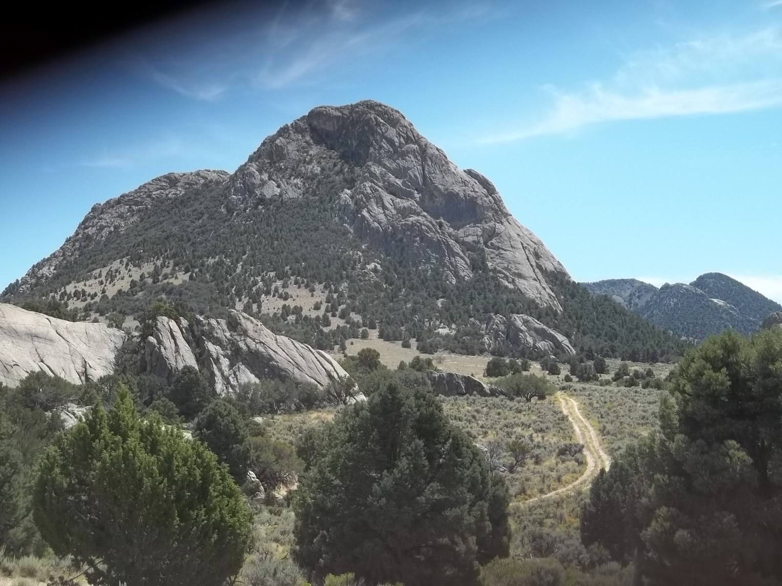 |
| Toano Crag, aka Sams Rock |
- CHINA MOUNTAIN el 8380 is the high point of the Granite Range. KNOLL BENCHMARK el 8760 , the high point on Knoll Mountain, is nearby. Take US 93 to mp EL 116.4 and turn on a good road going up Knoll Creek. Go nearly 4 and a half miles to a ranch. For China Mtn, go on up the canyon for a mile and a third then turn left up Hanks Creek. That turn is at N41 38681, W114 43700. Go a little over 3 miles on easy 4wd to a cattleguard then turn left there and follow the high road to the end at el 8050 about half a mile from the peak. The reg is at 41844, 45060. For Knoll BM, go back to the ranch and go south thru a gate into Bloody Gulch and go nearly 7 miles to Tiser Spring reading 36872, 39305 el 7200. The road had been bladed most of the way to the spring. At the spring, an eroded road can be seen going up the ridge to a fence at el 8100. It's less than a mile from there to the BM at 37168, 37936. I did this hike first then went north from Tiser Spr and dropped into Knoll Creek then went down to Hanks Creek and up to China Mtn. A road runs the crest from China Mtn to MIDDLE STACK MOUNTAIN el 8104. It's too rutted for 4wds, but cycles have it easy. From the cattleguard in Hanks Creek, ride to a 4-way at 41446, 42363 el 7450 then go left. The road soon swings north and is packed sand to Middle Stack then it goes steep up into the high saddle el 7750 between the summits. The reg and BM are on the east summit. Cycles can drop down west at 47595, 39136 el 7050 and get to US 93 at the bridge south of Contact, but that route is overgrowing. The only way I saw that 4wds can get to Middle Stack is up from the east. I could see recent 4wd tracks going up into the high saddle. A road goes north from Hanks Peak and down a canyon and on to US 93, but it was a disaster. Posted 2016
- DOLLY VARDEN MOUNTAIN HIGH POINT el 8500+ is a nameless peak with a 4wd road to towers on top. The huge Victoria pit mine is NE of the peak. The 4wd road departs from the mine at N40 19715, W114 32946 el 7300, right on the edge of an active claim. I rode in from the west and thru the pass to the mine, but that road was severely gouged out by storms in July 2015. Use the better road coming in from the east. The reg is at the south end of the summit area. SHARP PEAK el 8400 can be seen across the pass to the north. I parked at the pass el 7700 and followed the crest to where a horse trail tops out at 20497, 33525 el 8200. The trail crosses a minor saddle then drops a little and goes along the west side to get around a bump. Then it crosses another saddle and goes along the right side to a saddle at 20902, 33220 el 8300. Then it's just a short way up the ridge to the BM. The reg needs a new book. That's an easy hike of under 2 hours from the pass, if you can get there. Hiking to the pass from the mine wouldn't be a big deal. Posted 2015.
- ELKO MOUNTAIN el 7500 has a good road to the top, but I couldn't tell if it is public. There are no gates, just some vague signs. Take exit 301 at Elko and follow signs to Lamoille on SR 227. When you come to the junction with SR 228, keep going on 227 another mile and a half and turn left at a sign for the Sage school. Now you're on Boyd Road. Go east on that for 5 miles then the main road curves left and goes to the summit in another 7 miles.
- GOSHUTE PEAK el 9610 is the high point of the Goshute Mountains. It got harder in 2015 when roads washed out. Turn off Alt 93 at mp EL 34.3. Go several miles on easy 4wd, much of it in Felt Wash. Stay left at a couple of tricky forks to reach a road forking up Felt Canyon on the right at N40 28901, W114 12899 el 5700. It's washed out for the next half mile. ATVs can get thru. One thing that might work is to take the left fork going up the ridge then hike west of peak 6225 over into Felt. I rode a 125 up Felt and parked at a shady side canyon at 28509, 16428 el 6800. You can either hike north up canyon or use the west ridge of the canyon. I went up canyon for a mile then it steepened and turned left and put me in the saddle on the ridge at 29459, 17030 el 8100. There are patches of scrub on the ridge, but I went wide right around those to get to the reg at 29967, 17734. The crest looked enticing for the return, so I made the loop. 4 and a half hours, 3000 gain for the loop. I wore shorts all the way, but got lucky. What about the road going into the north saddle from the west? It's gone at el 6200 and it's not easy to get that far. I didn't check the Serviceberry road. Posted 2015. MOUNT PISGAH el 8999 is near the south end of the range and has a trail. Turn off Alt 93 at mp 30.2. Stay on the main road for a bit over 4 miles to the end at the sunny TH el 7000. I saw cars in there but I wouldn't. The trail is easy to follow until a T near the top at a bird watchers camp. Go left a few feet to an outhouse then take a right fork. The reading there is N40 25442, W`114 16208 el 8900. Now it's a short distance to the reg. 3 hours, 2000 gain. A road connects over to the Goshute Peak hike, but it's washed out. FERGUSON MOUNTAIN el 7700 is accessed from the Pisgah road. Turn at a jeep road reading N40 26241, W114 12796 el 6200. The first couple of hundred feet got chewed up by 2015 floods. It gets better. Drive or hike the road and don't take any left forks. I rode in nearly a mile to a mine el 6700 then walked north to the SW ridge at 27044, 12292 el 6900 and just kept going up to the reg on the south summit. It took me an hour with 1000 gain. A pleasant hike. MORGAN PASS has a jeep road running thru it. Turn off Alt 93 at mp EL 45.8. Go nearly 4 miles to a 4 way. Go left across a wash to a fork on the south bank. Go right for several miles to another fork at N40 37851, W114 15254 el 6500. Go left to the pass. Some nice peaks are in this area. Nameless hills are on the east side of of Alt 93. A long mega terrace, no doubt created by Lake Bonneville, caught my eye. A road goes from the highway at mp 45.8 to a saddle then it's a short hike south to a class 3 crag at N40 38336, W114 06313 el 5200 which seems to be the high point. This is a mile inside the air force range. Posted 2015.
- HOLE IN THE MOUNTAIN PEAK el 11300 is the high peak in the East Humboldt Range. A jeep road goes to the 8400 level at Lizzie's Basin on the east side. Take SR 232 to mp 8.6 and turn at the sign for Weeks road. The first 3 miles are 2wd then it gets nasty. I wouldn't try it without a locker. Turnarounds are scarce. The road ends on a ridge and an overgrown trail keeps going up the ridge for a quarter mile then drops down the north side at N40 56500, W115 06310 el 8700. It drops 200 feet to the creek and gets lost in brush. It's better to start up to the left on open benches just before reaching the creek and walk the benches above the brush then cross the creek at 56728, 06607 el 8950. The ascent gully is obvious. It goes parabolic but not loose. The first good spring I found in the gully is at 56883, 06645 el 9200. The last one is at 57010, 06823 el 9900. The gully tops out at el 10300 then it's less than half a mile to the reg at 57044, 07332. 5 hours, 3200 gain. Light brush is abundant until the spring at el 9200. The only place I saw for backpackers to camp is on slabs at the creek crossing. Another option is to camp at Winchell Lake and try running the crest. The lake is above brush line. WINCHELL LAKE is another hike on the east side. Use exit 351 at Wells and follow signs toward Angel Lake on SR 231. The TH is at a curve at mp 1.9. The first part of the trail is trashed by cattle, but not so much at the lake. Posted July 2015.
- INDEPENDENCE BENCHMARK el 8300 is the high point of the Wood Hills. The road in from the west was washed out at the 6400 level by floods in July 2015. Take US 93 to mp EL 67.6. Go east on 4wd for nearly a mile then left at a fork. Drive to another fork at N41 00989, W114 53860 el 6300. Go right for a fifth mile and the road is washed out. I rode a cycle on up to the crest el 8100. A rocky horse trail goes from there along the west side and soon the peak is in view. The BM is at 00802, 49913. I had an easy hike but 4wds will have a 4 and a half mile hike each way. Another road comes in from Moor Summit to the north but it looked unused. Posted 2015.
- LEPPY PEAK el 6716 is the high point of the Leppy Hills at Wendover. Take exit 410 off I-80 and get on the north frontage road. Go east a tenth mile then turn on a gravel road and go north a bit over 3 miles to a pass el 5650. Keep going another half mile then go left on an easy 4wd road. Go half a mile and park at el 5800 right where the road drops to a guzzler. Hike up the canyon south of the road all the way to the crest then go left to the reg at N40 46934, W114 04311. The south summit has a fallen tower that now serves as a reg. 80 minutes, 1000 gain. This is a good looking peak and too easy to pass up. Posted 2015.
- MURDOCK MOUNTAIN el 8312 is the high point of itself. There is a smooth 4wd road to the 7700 level on the SW ridge. Take SR 233 to mp 6.4 and turn on a major dirt road. This is at the north end of a guard rail. Take the dirt road to a RR crossing and cross over then follow the tracks west for 3 and a half miles on a pothole road to a fork at N41 08324, W114 26011. The roads from here on are smooth with not much erosion or brush. Go right at the fork and stay on the main road to a 4 way at 11490, 25531 then go right and the road goes up the SW ridge. It's a short hike from there to the reg at 13268, 21979. This is a nice area with scarce brush and not much impact from cattle or horses. Posted 2015.
- PILOT PEAK el 10700 is a pile of talus 6000 feet high. The BLM has a route up the south ridge roughly from point 6382 in Miners Canyon. Take I-80 to exit 4 and go north a mile and a quarter then take a left fork that goes 3 miles to Leppy Pass. Keep going toward the peak for a dozen miles to a cattleguard. Turn left on easy 4wd. One tricky fork near the mountain goes both ways, but right is the better road. A shady camp is up in the canyon. A sunny camp el 6200 is after that which is where I parked. The BLM route starts up a north canyon at N40 59710, W114 04304.The creek was running from the mouth on down a good distance. A backpacker's base camp would be feasible here for those with 2wd. Soon the canyon is pure talus, so I bailed on that route and went up onto the right ridge at N40 59990, W114 04171.el 6900. Going straight up the ridge worked good and at el 7600 the BLM route merged. It was pretty simple to go up the ridge center. The ridge is more bedrock and dirt than talus until the last 1000 feet where it is pure talus. One thing I did at el 8900 was walk level along the right side into the trees at N41 00647, W114 04536 and weave up under those. The reg is at N41 01266, W114 04646. It took 4 hours, 20 minutes to go up, 3 hours to come down, 4600 gain. This is the most tedious peak in the state. I was here in the 90s and the reg book had an entry by a researcher in Aug 1979. He said you could look at the salt pan and see a dark streak coming across. That was created by the Donner party churning up the sediments. I could see it then, but not on the 2015 trip. But the same book was still there. Miners Spring had a small flow. Posted August 2015.
- SOUTH PEQUOP BENCHMARK el 9249 is east of Wells near I-80. A 4wd road goes up Sixmile Creek (dry) to the crest at el 9100. Take exit 378 and go south a mile and a half to a major dirt road on the right. Stay on that and it will carry you right into Sixmile canyon. A new mine may be blocking access, but there's a way around it. Go west on the freeway frontage road for over a mile to a gate. Go thru then follow that fence south to the Sixmile road. At the first main fork in the canyon, stay right and go up to another fork reading N41 00066, W114 33762 el 7000. There are some good shady camps along this stretch and it's the prettiest part of the canyon. Go left at the fork and it gets grassy. At the 7900 level there are deep ruts that last a third mile then there is a left fork that bypasses the rest of the ruts. The road levels off and here is where I stayed on the south road to peak 9163. But it might work better to circle to the west side of peak 9163 and hike horse trails from there. Either way it's an easy 2 mile walk to the summit. For the last mile a horse trail goes along the west side of a hill that's in the way. The reg and BM are at N40 55451, W114 35372. Some wreckage is along the trail right before the top. PEAK 8333 has a cycle trail to the 8000 level. At the fork in Sixmile canyon el 7000, go right and stay right at forks and you swing around to the west side and up a canyon where the road shrinks to a trail heading for the peak which is at N41 00659, W114 34042. The trail goes on down the north canyon and morphs into a road in half a mile. Stay right at the mouth to get out. ROCKY POINT el 8274 is north of the highway. It has towers and the North Pequop BM. It is owned by the Pequop Conservancy and so you're supposed to go online and get a free permit. Take exit 373 and get on the north frontage road. Go west on that and stay on the main road to the unlocked gate at the Conservancy boundary el 7500. If you don't want to deal with that headache, there is a smooth road on the crest to come back to the highway with some towers along the way. Another drive at that exit is to get on the south frontage road and go west. The road will go up a canyon and on up to towers on easy 4wd. The Quop BM is shown to be along this road at N41 03516, W114 35207 el 7575 but I found no BM, just a lot of survey junk. A small, shady camp area is near this exit at N41 04382, W114 33846. Posted 2015.
- SPRUCE MOUNTAIN el 10200 has a 4wd road to towers on top. Take US 93 to mp EL 38 and follow a good road to a fork at the base of the mountain reading N40 33032, W114 52334 el 7000. Both forks go, but the left one is for OHVs. Take the right fork to a major pass el 8600 north of the summit. An obvious steep road switching up from there goes to the towers. The BM is a few hundred feet south. The main attraction here is to hike the high ridge a couple of miles to the bald south peak at 31543, 50461 el 10070. The last mile and a half is a horse trail. It took me 75 minutes to get there. Surveyor junk is on that summit. One option for 2wds is to hike the road from the 7000 level to the towers then run the ridge to the south peak then come straight down. There are a lot of old mine cabins here. VALLEY MOUNTAIN el 7460 is across US 93. Go back and cross the highway then over a cattleguard. Take the left fork then left again shortly. The road goes to the 6800 level on the east slope. It's half a mile to the BM at N40 33110, W115 01325. This is quite a nice little peak. The roads are packed dirt but eroded. Posted 2015.
- TOANO RANGE PEAK 8037 is the high point of the range north of I-80. It has an easy 4wd to the west base el 7100. Take I-80 to exit 387 then go north on a crude road to the west base of the range. If that road is blocked, get on the north frontage road and go east a mile and a third to a gravel road on the left. Take that to transformers then it's a crude road from there to a better road running along the west base of the range that soon merges with the other road in. A gravel pit for RV parking is before the transformers. Drive to a fork at N40 59001, W114 19404 and go right to the end of the road at some shady camps. Angle up thru a pleasant pj forest to the south saddle at N40 58382, W114 18773 el 7800. Now just go left a third mile to the reg. 70 minutes, 1000 gain. I took a shortcut down and hit brush and talus. TOANO CRAG el 7735 is what I call that thing a mile north of peak 8037. Some hikers call it Sams Rock. It has a route on the north side and one on the south side. Drive around to a viewpoint on the north side at N40 59847, W114 18943 el 7100. Look up and you can see the route to the east edge of the summit. It is class 2 and has light brush and mahogany. I prefer the south route with a pleasant pj forest but it has some class 3. Go up thru the trees on the south side toward the saddle east of the summit. Just before the saddle is a gully at N40 59639, W114 18781 el 7500 where class 3 starts. This gully is visible from the flats below. The main thing is a chokestone 8 feet high. Two can get up it, I used a ledge on the left. I didn't think it dangerous. The gully goes on up to the east edge of the summit. I went down the north route then around to the west side where I parked. The whole affair took 90 minutes. Take a folding saw to clear saplings. NORTH TOANO BM el 7984 caps off the north end of the range. Stay on the main road running along the west base to a fork at N41 03097, W114 19141. Turn right up a canyon to the 7400 level where the peak comes into view. It's a half hour hike to the BM at N41 04217, W114 17375. These roads aren't rocky and make for good cycle rides. PROCTOR BM el 7602 is on the south side of the highway. A 4wd road goes up to el 6800 on the west ridge. Get on the south side frontage road at exit 387 and go east to a bridge over the RR tracks. Go over the bridge then take a right turn for a third mile to some buildings. Go left there on 4wd for a couple miles to a fork. Go left there and the road winds its way down to the canyon bottom. Go left down canyon and the road will circle up to the west ridge and fade at el 6800. It's a nice short hike thru a pj forest to the BM at N40 52369, W114 17631. Another nice cycle ride. ARNOLD LOOP is the name of that 6 mile long hairpin turn in the RR tracks on the east side of the range. Posted 2015.
- WHITE HORSE MOUNTAIN el 8077 and SUGAR LOAF PEAK el 8025 are at the southern tip of the Goshute Mtns. They are separated by a 600 foot deep saddle and can be done as a loop from the east. Take Alt 93 to mp EL 24 and get on the old highway and go north a quarter mile then turn east on a decent road. Follow it for half a dozen miles or so around to a crude road on the east side at N40 17120, W114 13709. Take the crude road for a third mile into a canyon el 6350 then hike up canyon to the easy south ridge on the right at 17219, 14697 el 6600. Just keep going up to the BM at 18436, 15013. Surveyors hauled up 2 heavy steel fence posts to make a pole. The route over to White Horse and back down is obvious. The reg is at 17522, 16162. 4 and a half hours, 2400 gain. Outstanding pj forest hike. White Horse has a more dramatic route from the west but roads are not as good. A 4wd road goes up a west canyon to el 6700. Turn off Alt 93 at mp EL 21 and take the old highway south for half a mile just past a point of rocks. Turn on a crude road and go about 3 miles to a fork reading N40 17256, W114 18699. Go left for nearly a mile to a fork el 6100 at the base of the mountain. Go right for 2/3 mile along the base of the moutain to a guzzler, then left just after that. The road fades at el 6700, ignore a right fork near there. Just go up the easy slope to the left of the road to get on a main ridge. At el 7700 the rest of the route is in view. A bump is in the way 4/10 mile before the summit. Go up nearly over it on the right side. The reg is at 17522, 16162. 3 hours, 1400 gain. Posted 2015.